Recent satellite analysis has uncovered that the scope of Iranian attacks on US military bases across the Middle East is significantly larger than government officials initially acknowledged. Since the outbreak of regional hostilities on February 28, 2026, the true scale of destruction at various American military installations has remained largely obscured from the public. However, comprehensive satellite imagery reviews now indicate extensive structural and equipment losses. This revelation shifts the geopolitical understanding of the ongoing conflict and raises urgent questions about the vulnerability of US assets deployed abroad.
Unveiling the True Extent of Destruction in the Middle East
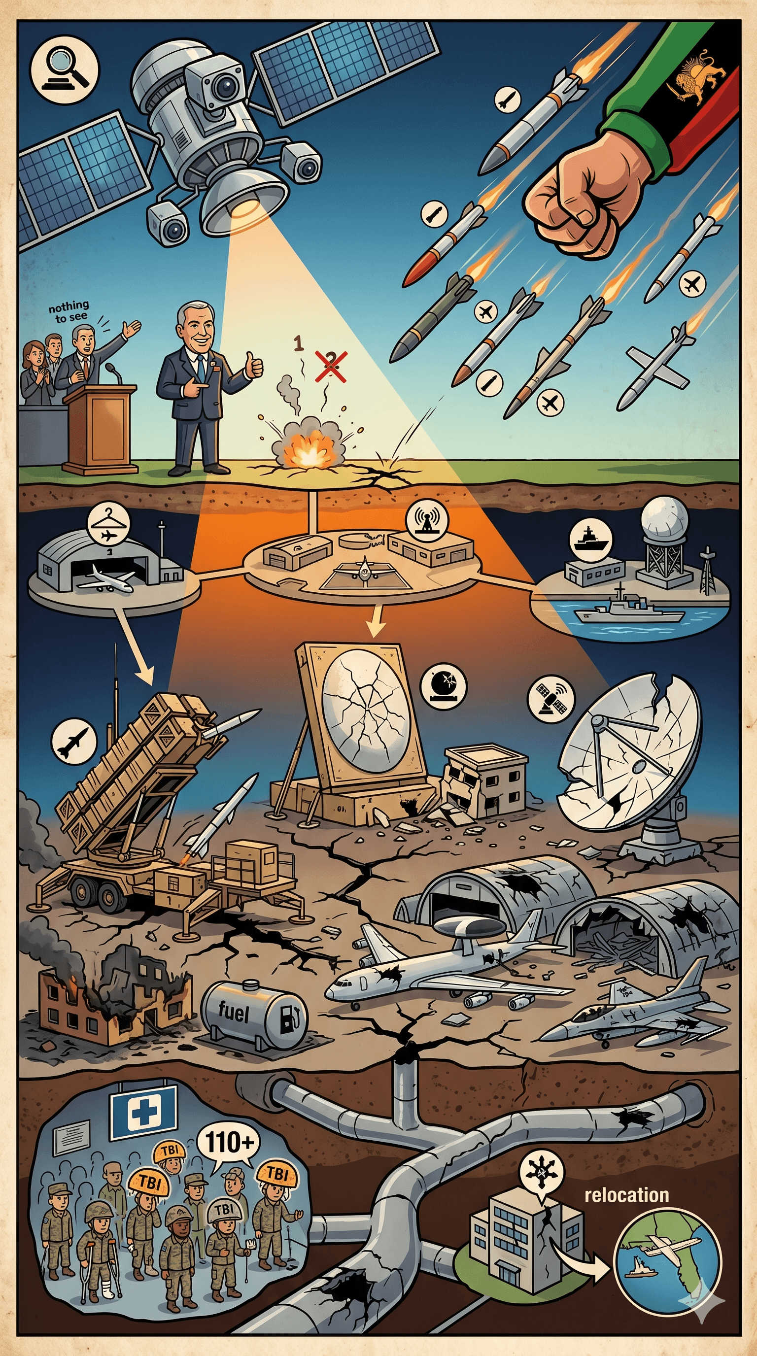
According to a detailed investigation by The Washington Post, Iranian airstrikes have damaged or completely destroyed at least 228 structures and pieces of equipment across 15 US military sites in the region. The sweeping satellite analysis documented precision hits on 217 buildings and 11 crucial military assets.
Findings from the Satellite Analysis
The analysis demonstrated that Iranian forces systematically targeted not only tactical military hardware but also the critical infrastructure that sustains US military operations. The damaged structures encompass aircraft hangars, barracks, fuel depots, and essential radar, communications, and air defense equipment. Independent image analysts noted that the deliberate targeting of accommodation buildings—including gyms, food halls, and living quarters—indicates a calculated intent to maximize operational disruption and inflict mass casualties upon stationed personnel.
Key US Military Sites and Assets Targeted
The geographical spread of the destruction highlights the reach of the Iranian attacks. More than half of the documented damage was concentrated at the US Navy's 5th Fleet headquarters in Bahrain and three strategic bases in Kuwait: Ali Al Salem Air Base, Camp Arifjan, and Camp Buehring. According to one US official, these locations were heavily targeted likely because they either launched or permitted attacks from their territory.
High-Value Equipment Destroyed
The satellite analysis also highlighted the loss of advanced, high-value defensive and offensive systems. During the Iranian attacks, several vital air defense and communication components were neutralized. The destruction included:
Patriot missile defense systems stationed in Bahrain and Kuwait.
Terminal High Altitude Area Defense (THAAD) radar systems located in Jordan and the United Arab Emirates.
A critical satellite communications dish at the Naval Support Activity in Bahrain, alongside a satellite communications site at Al Udeid Air Base in Qatar.
An E-3 Sentry command and control aircraft and a refueling tanker repeatedly parked on unprotected taxiways at Prince Sultan Air Base in Saudi Arabia.
The damage at the Naval Support Activity in Bahrain was described by a US official as "extensive". The severity of the strikes forced the 5th Fleet headquarters to relocate its operations to MacDill Air Force Base in Florida. Additionally, defense officials have suggested that American forces may never return to these regional bases in their previous large numbers.
Casualties and the Human Toll
The human cost of these Iranian attacks on US bases has been substantial. Since the conflict began on February 28, 2026, seven American service members have lost their lives as a direct result of these strikes—six stationed in Kuwait and one in Saudi Arabia.
Furthermore, over 400 US troops have suffered injuries. While military data indicated that the majority of the wounded were able to return to duty within days, at least 12 personnel sustained injuries classified by military officials as serious. The persistent threat of drone and missile strikes rendered several regional bases too dangerous to operate at standard staffing levels. Consequently, commanders proactively moved the majority of personnel out of the immediate range of Iranian fire during the early stages of the war.
Experts reviewing the satellite analysis observed that the US military appeared to have underestimated Iran's precision targeting capabilities. The evidence points to a high degree of accuracy, with munitions consistently hitting designated targets without leaving scattered or random craters. Tactical shortfalls—such as relying on thin tin roofs for tactical centers in Kuwait—left personnel critically under-protected against modern drone warfare.
Censorship and the Struggle for Satellite Imagery
Acquiring clear intelligence and maintaining public transparency regarding the Iranian attacks on US bases has been fraught with challenges. Commercial satellite imagery of the Middle East has been unusually difficult for the press to obtain.
At the request of the US government—their largest client—two major commercial satellite providers, Planet and Vantor, agreed to limit, delay, or indefinitely withhold the publication of imagery over the conflict zones. These restrictions, implemented just two weeks into the conflict, severely hindered independent analysts' ability to verify the extent of the hidden damage.
Verifying the Evidence
In the absence of commercial western satellite imagery, Iranian state-affiliated news agencies frequently published high-resolution images on social media claiming to show the aftermath of their strikes on US sites. To conduct their comprehensive investigation, The Washington Post reviewed more than 100 of these images.
To ensure accuracy and prevent the spread of propaganda, researchers verified 109 of the Iranian-provided images by cross-referencing them with lower-resolution data obtained from the European Union's Copernicus system and other independent sources. The verification process confirmed that the images released by Iran had not been manipulated, successfully authenticating the severe scope of the damage. U.S. Central Command declined to confirm the exact findings, noting that battle damage assessments remain complex and can sometimes be inaccurate.
Geopolitical Implications and Future Outlook
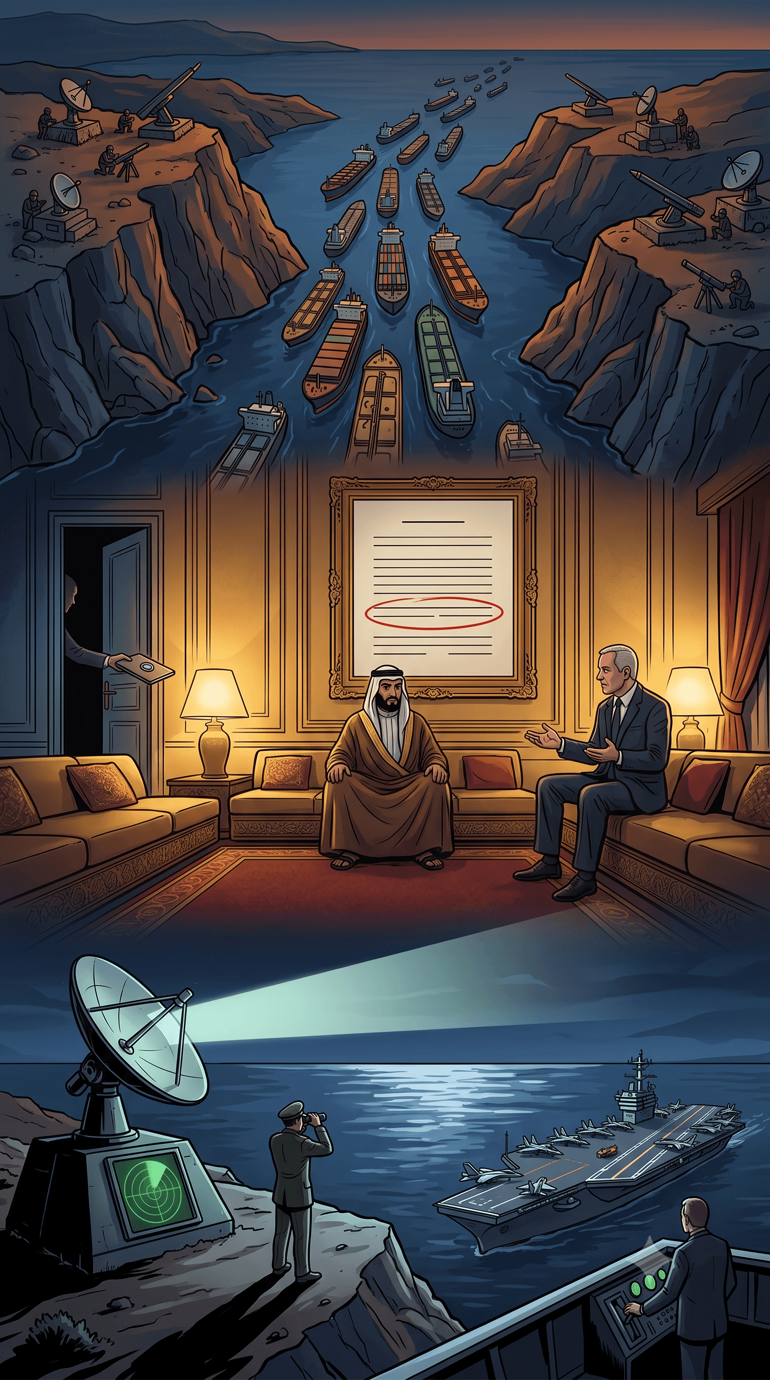
Beyond the immediate structural and human toll, the verified satellite analysis of Iranian attacks on US bases carries profound geopolitical and economic implications. In response to the escalating conflict and threats to maritime security, the United States briefly initiated "Project Freedom," deploying roughly 15,000 personnel and over 100 aircraft to escort commercial vessels through the heavily contested Strait of Hormuz. The Strait serves as a vital global energy chokepoint, facilitating the transit of approximately one-fifth of the world's crude oil and liquefied natural gas.
However, the military operation was halted after just one day by President Donald Trump. The administration paused the maritime escorts in an attempt to negotiate a diplomatic deal with Iran to end the war, highlighting how the widespread damage and strategic vulnerabilities have rapidly influenced US foreign policy.
Moving forward, the US military faces a critical juncture. The sheer volume of 228 destroyed or damaged assets reveals that US infrastructure in the region is highly vulnerable to advanced drone and missile warfare. The Pentagon will likely need to drastically overhaul its force protection measures, reconsider its regional footprint, and adapt to an era where remote, precision-guided munitions pose a constant threat. Ultimately, the long-term outlook suggests a potential permanent reduction of US troop presence in exposed regional bases as both nations navigate the profound consequences of this unprecedented military exchange.