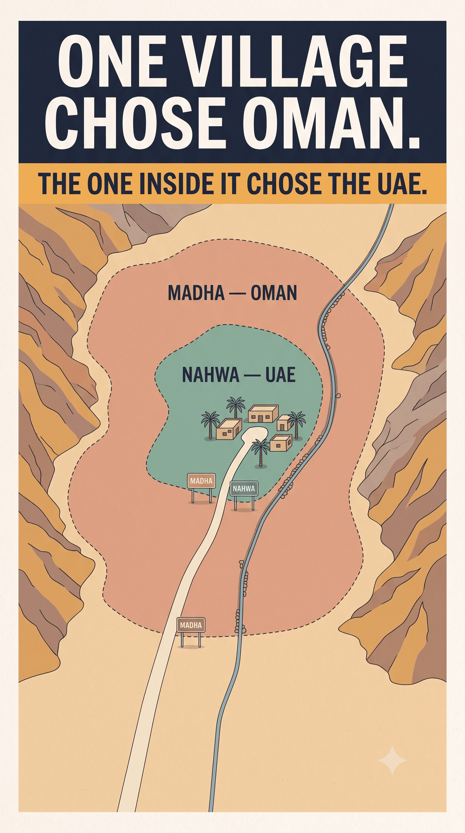
Madha is a province of Oman that does not touch Oman. It sits in a stretch of rocky valley between the Musandam Peninsula and the Omani mainland, entirely surrounded by the United Arab Emirates. Around 4,300 people live there, by Omani national statistics for 2022–23.
Inside Madha sits Nahwa, which belongs to the Emirate of Sharjah, in the United Arab Emirates. Roughly five hundred people live in it, by the only on-the-ground count we can find.
So: the UAE, inside Oman, inside the UAE.
We have written about two arrangements like this before, and both were accidents. This one, the story goes, was chosen.
We are going to tell you that story, and then we are going to tell you how much weight it will bear — because the honest answer is: less than everyone repeating it assumes.
The story everyone tells
At the start of the nineteenth century this area belonged to the Qawasim of Ras Al Khaimah. Sometime between 1869 and 1900, the Shihuh of Dibba Bai'ah took it back by force. By the 1930s several powers had overlapping claims across the peninsula: the Qawasim rulers, the Al Sharqi of Fujairah, the Shihuh under Muhammad bin Salih, and the Sultan of Muscat, represented locally by his wali.
Rather than fight it out village by village, the story goes, they put a question to the village elders: whose authority do you want to live under?
Most of the villages around answered Sharjah, or Fujairah, or Ras Al Khaimah.
Madha answered Oman.
The reasons that come down to us are practical. The Madhanis judged Oman wealthier and more strongly governed, and — this is the part everyone remembers — better able to protect the village's water supply. The wali, Hamad bin Saif Al Bu Sa'idi, is credited with making the case. One Madhani, interviewed decades later, remembered him simply as "a good man, a very good man."
And Nahwa, the settlement in the middle of Madha, had closer ties to Sharjah. Nahwa answered Sharjah.
It is a wonderful story. It is told in newspapers, in travel writing, on every map-curiosity site on the internet, and we have just told it to you.
How much of that is actually evidenced
Here is the part the other retellings leave out.
The entire episode rests on one newspaper feature. A 2012 piece in The National, built on oral testimony gathered roughly seventy years after the events it describes, including an eyewitness who recalled the moment — "And the people of Madha answered, 'Oman'." Everything else you will read about the Madha allegiance — including this article — traces back to it, or to sites that traced back to it. We searched for a scholarly or archival treatment and did not find one.
Sources disagree about who asked the question. The version above has four local powers convening the elders in the late 1930s or early 1940s. But a second account, also carried by The National and repeated by Atlas Obscura, puts it a generation or more earlier and in different hands entirely: British surveyors, touring the Northern Emirates to map boundaries around 1900, asking each settlement whose authority it accepted. In that telling Nahwa told the British it accepted the Qawasim, and Madha said its loyalty lay with the Sultan of Muscat.
Those are not variations on one story. They differ on who, and on when, by decades.
The man who actually drew the lines has a name, and he is missing from almost every retelling. Julian F. Walker, a young assistant political officer in Dubai, carried out the field survey of these boundaries in 1954, reported on frontier settlement in March 1955 and on the boundaries themselves that May, and the resulting internal Trucial States boundaries were put on an official British map in February 1963. The map was nicknamed Mr Walker's Jigsaw Puzzle, for exactly the reasons you can see on it. Wikipedia's own article on Nahwa says the borders followed consultations between the area's tribes and Walker.
So the most documented actor in this story is a British official with a surveyor's notebook, and the version that travels is the one about village elders at a feast.
The 1969 date is weaker than it looks. The enclave boundaries are routinely said to have been fixed in 1969. The source usually cited for that does not say it. We repeat the date because it is what everyone uses, and we are flagging that we cannot stand it up.
None of this means the allegiance story is false. Oral testimony seventy years after the fact is thin evidence, not disproof, and the two accounts could even describe different stages of the same long process. But "the villagers chose" is a claim about agency, and agency is exactly the thing this article wants to build an argument on. So it needs saying plainly: this is the story as it is told, not as it is documented.
Water as a theory of the state
Take the story at its own word for a moment, because the stated reason is more honest about what a border is for than most writing on sovereignty.
The question put to those elders was not about identity, language, religion or history. All the claimants were Arab, Muslim and local. The village was not choosing a culture. It was choosing an administration, and it assessed the candidates on whether they could keep the water running.
That is not a quaint pre-modern consideration. In a dry mountain valley irrigated by falaj channels, control of water is the economy and most of the politics. A ruler who could guarantee it was offering something concrete. A ruler who could not was offering a flag.
And here is where the story acquires an ending nobody intended.
In 2021, Omani state media reported that residents of the Mushhaitan area of Madha had "long suffered a water problem," with a connection to the public network finally due before the end of that year. A wells desalination plant producing 2,000 cubic metres a day opened in July 2021. A thirty-bed hospital was under construction, justified in part by how far Madhanis had been travelling for healthcare.
The village that reportedly chose its country to protect its water spent the better part of eighty years with a water problem in part of its territory, and solved it with a desalination plant.
That is not an argument that they chose wrong. Remote mountain wilayats in any country are served last. But it is a useful corrective to the romance: choosing your sovereign does not exempt you from being a long way from the capital.
What it looks like now
There is, as far as anyone reports, no functioning border control here.
The Oman–UAE frontier is along most of its length a controlled border; the UAE announced a border fence in 2002 and built it through the mid-2000s. The Madha–Nahwa enclaves appear to have been left outside it. Visitors as recently as late 2025 describe driving out of the UAE, into Oman, and into a piece of the UAE again with nothing to stop them.
Two caveats on the frictionless version, because it gets overstated. There is physical infrastructure — a disused border post stands near the road, and there are police posts in both Madha and Nahwa. And entering Madha by car is not requirement-free: Omani vehicle insurance needs arranging in advance, and travellers report spot checks and fines.
New Madha has what a small remote town has: roads, a school, a post office with its own postal code, a police station, power and water, and since 2021 the desalination plant. In Nahwa, the old village was largely abandoned in the late 1990s for a newer settlement nearby; a third part of the enclave, Shis, is known for its pools.
Nobody appears to be campaigning to end the arrangement. We note that this is an absence of reporting rather than evidence of contentment — very little is published about Madha in either Omani or Emirati media.
What the three stories say together
The temptation with enclaves is to treat them as puzzles. We have leaned on that, because it is what makes somebody stop scrolling. But put the three together and there is an argument.
Enclaves are not inherently cruel. The cruelty is in not being asked.
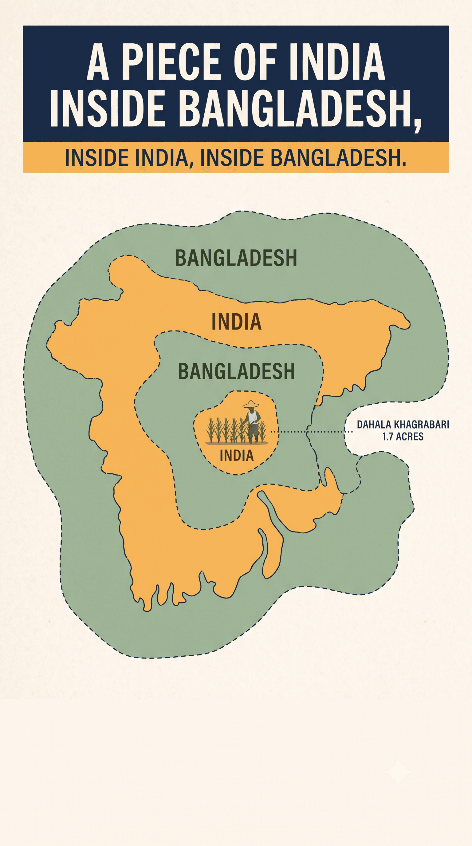
The Cooch Behar enclaves imposed real deprivation for decades. Not because the geometry was complicated, but because the people inside were never consulted at their creation — a treaty around 1713 that failed to settle a boundary — and so for generations neither state had a reason to serve them.
That claim needs one correction, which we owe to our own fact-checking. By the end, those residents were not merely objects. They ran their own long campaign for the exchange, through the Bharat-Bangladesh Enclave Exchange Coordination Committee. And in July 2015 a joint India–Bangladesh survey sent teams into every enclave to ask each resident which nationality they wanted. The asking came sixty-five years late. It did come.
Baarle sits in the middle. Nobody held a vote, but the 1843 settlement did not impose a line either — it gave up on drawing one and codified, plot by plot, which lord each parcel had historically owed to. That is closer to writing down what landowners already did than to imposing geometry on them. It produces inconvenience, tourism, and nothing worse.
And Madha, if the story is true, is the case where the people in the valley answered the question themselves.
The thing worth taking from all three is not where the lines are. It is who was in the room when they were drawn — and, in this last case, how little we can actually prove about that.